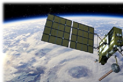
The Department "Space Geodesy and Geodynamics" at the ROB performs research on topics including space geodesy, seismology, gravimetry, Earth's rotation and time transfer. It has a long tradition of collaboration in international astronomical and geodetic campaigns for monitoring the form and dimensions of the Earth. In 1988, a research program focusing on the Global Positioning System (GPS) was set up within this department. Today, the original GPS research program has been extended to all Global Navigation Satellite Systems (GNSS), e.g. GPS, GLONASS (the Russian navigation system), and GALILEO (the upcoming European navigation system).
The primary public mission of the GNSS research group, which is part of the legal mission of the Royal Observatory of Belgium, is to integrate Belgium in international reference frames, both in time and space. This task is only possible through observations, research and data analysis.
Our GNSS research group uses GNSS satellite navigation signals for different multi-disciplinary applications:
- Monitoring of ground deformations
- Reference frame maintenance
- Time and frequency transfer
- Monitoring the Earth's atmosphere
More about the research carried out by the GNSS team at the ROB can be found on the gnss.be website here.


