|
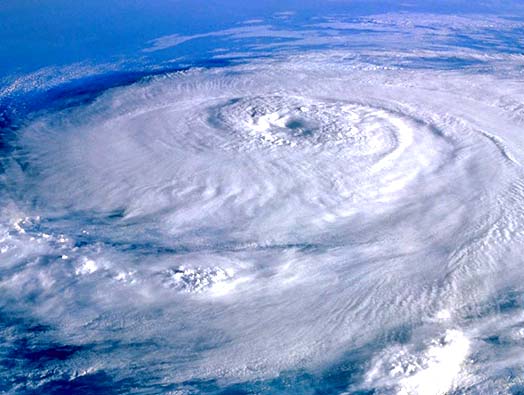
Illustration taken from www.leosphere.com
|
GNSS For Meteorology and Severe Weather MonitoringOnce estimated, the GNSS-based tropospheric delays can then be used for meteorological applications. The meteorological interest in GNSS measurements is caused by the sentivity of GNSS signal to the precense of water vapour. Indeed, water vapour is tightly coupled to processes like energy transfer and precipitation. It is thus a key parameter in weather prediction. As a consequence, the humidity field is used as input to (1) Numerical Weather Prediction models (NWP) and (2) to guide nowcasting of severe weather. However, currently there is a lack of knowledge about the actual humidity field. This is due to a shortage of water vapour measurements at high temporal frequency and high horizontal resolution. This is where GNSS-based tropospheric delay estimates can play a valuable role! Using measurements of the surface air pressure and temperature, the tropospheric delays estimated from GNSS observations can be converted into Integrated (column) Water Vapour (IWV). Compared to classical observation techniques of the atmospheric water vapour (e.g. radiosonde observations), GNSS provides a low-cost, all-weather, continuous system observing the atmospheric water vapour at high temporal (5-10 minutes) and spatial resolutions (both in terms of extension and density of the observing network).
This page is still under construction. Please come back later... |
|
Illustration taken from www.leosphere.com
|
GNSS For Meteorology and Severe Weather Monitoring |

